
|
Getting your Trinity Audio player ready...
|
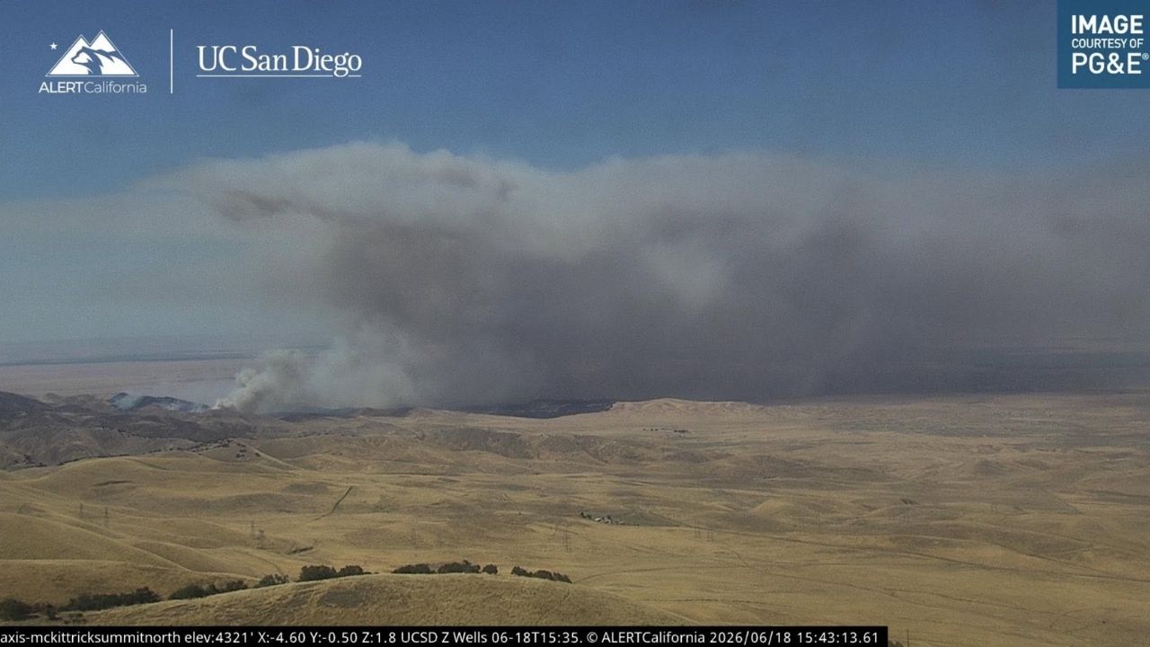
A wildfire known as the Lost Fire burned 682 acres Thursday west of Bakersfield in the Lost Hills area, prompting evacuation orders as flames moved rapidly through dry vegetation, CalFire reported.
The fire was first reported at 3:03 a.m. Thursday about four miles northwest of Lokern and Lost Hills roads, roughly 35 miles west of Bakersfield, according to incident information. It remained at 0% containment as of the latest update.
Authorities said the blaze was under investigation and was moving uphill, aligned with terrain and wind, contributing to a “dangerous rate of spread,” according to incident updates.

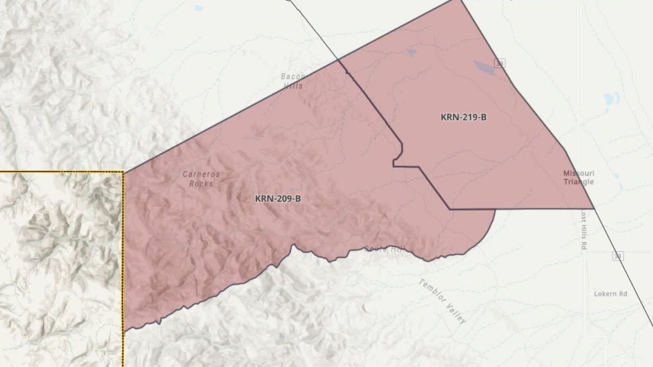
Evacuation orders were issued for zones KRN-209-B and KRN-219-B, with officials warning of an “immediate threat to life” and ordering residents to leave the area.
The fire grew rapidly through the day, expanding from 70 acres in the morning to 100 acres, then 400 acres, before reaching 682 acres by early afternoon, according to updates.
—
Connect with Anthony W. Haddad on social media. Got a tip? Send an email.