

The National Weather Service Hanford office computer models have shown stagnant smoky air hovering over the areas of the Creek Fire and the SQF Complex fire in Tulare county for several weeks. The valley will likely be impacted this weekend.
“We will see a wind shift late this weekend from a high pressure system using winds from the northeast to push smoke into the Valley,” said Hanford NWS Meteorologist Colin McKellar.
When GV Wire℠ asked, McKellar was kind enough to use output from their Experimental High-Resolution Rapid Refresh computer model to provide a fresh forecast for the upcoming weekend. In the model (seen below from NWS Facebook page), the darker colors are over the areas of the fires. As the model progresses through the weekend, the smoke shifts back towards the Valley floor.

https://www.facebook.com/NWSHanford/posts/4411832672225509
Health Caution Remains in Place
The San Joaquin Valley Air Pollution Control District still has a health caution in place.
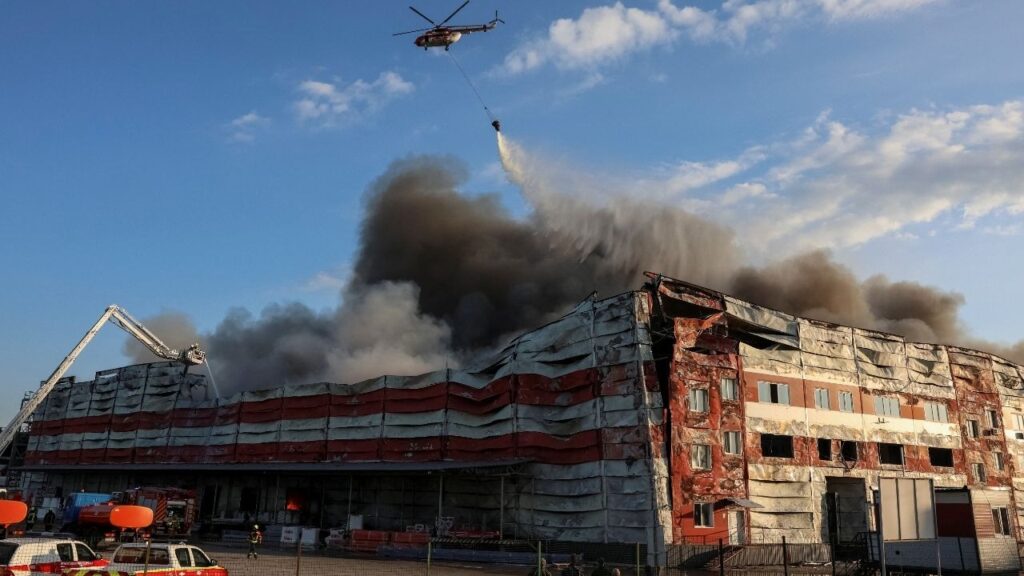
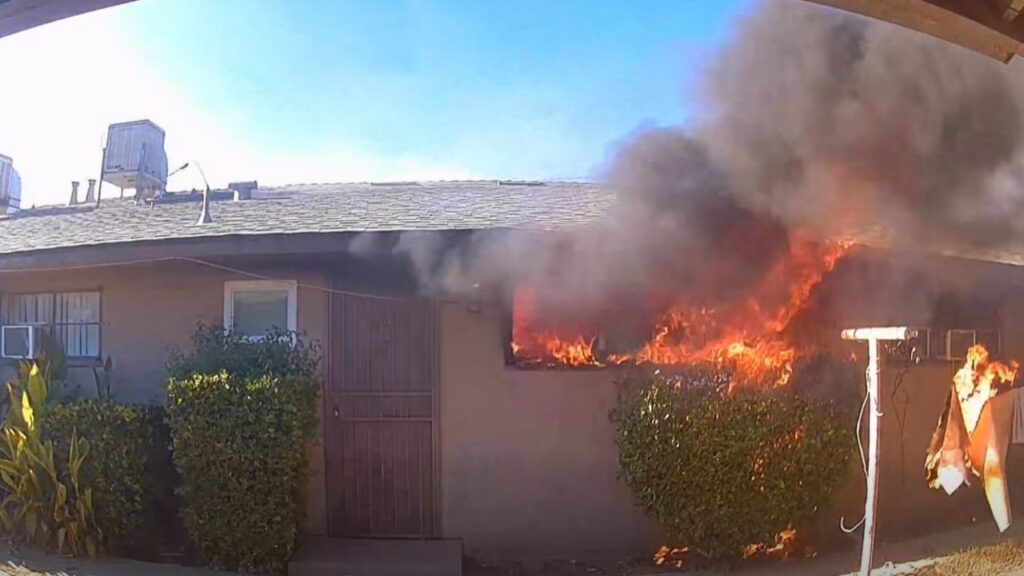
The District anticipates air quality to be unhealthy in a number of regions in the Valley, and to worsen as the week progresses. Smoke will remain on the Valley floor and will increase as the weekend approaches, eventually impacting the entire San Joaquin Valley which includes San Joaquin, Stanislaus, Merced, Madera, Fresno, Kings, Tulare Counties, and the valley portion of Kern County. Additionally, the Creek Fire, located in Fresno/Madera counties and the SQF Complex Fire, located in Tulare County are still impacting nearby foothill communities and neighboring counties.
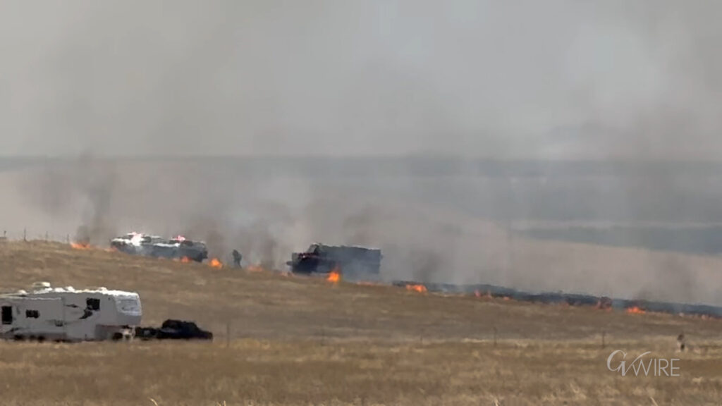
Fire Danger in Northern California
PG&E has issued a Public Safety Power Shutoff notice for Saturday in parts of the Sierra Nevada foothills. Areas stretching from Calaveras County to the south, up to Plumas County further north are all included in the notice.
https://www.facebook.com/pacificgasandelectric/photos/a.158074100888012/3895524817142903
CalFire says a significant warm up will begin Saturday, stretching across the state into the following week, with a chance of record-breaking high temperatures in some areas. Locally gusty winds may also occur, bringing elevated fire danger.
A Red Flag Warning has been issued for gusty winds, high heat, and low humidity beginning Saturday through Monday, affecting areas including the East Bay Hills and interior valleys, and North Bay mountains. A Fire Weather Watch is in effect beginning Saturday morning through Monday over a large portion of Northern California for gusty winds and low humidity, bringing critical fire weather conditions.