
|
Getting your Trinity Audio player ready...
|
USA TODAY reported that federal forecasters have confirmed the arrival of El Niño conditions, signaling what could become one of the strongest events on record.
The National Oceanic and Atmospheric Administration’s Climate Prediction Center says there is a 63% chance the climate pattern will reach “very strong” status by winter, potentially rivaling major El Niño events dating to 1950.
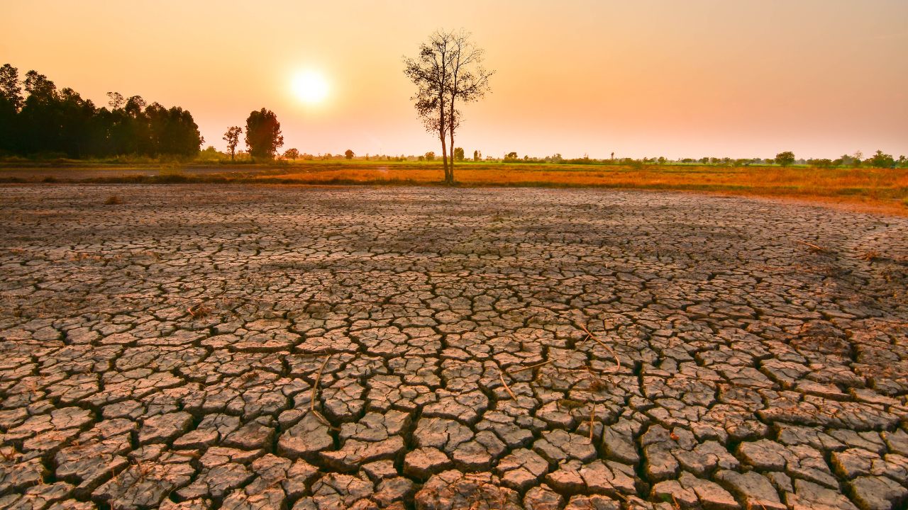
El Niño develops when sea surface temperatures in the tropical Pacific Ocean become unusually warm, influencing weather patterns worldwide.

Forecasters warn the event could intensify droughts, heavy rainfall and heat waves while amplifying the effects of climate change.
In the United States, El Niño may bring hotter and drier conditions to parts of the Northwest and northern Plains, increased rainfall across the Southeast and Gulf Coast, and wetter weather in California, including the possibility of stronger storms and heavier mountain snowfall.
The pattern is also expected to suppress Atlantic hurricane activity while boosting hurricane development in the eastern Pacific. Officials say the advance warning allows communities months to prepare.