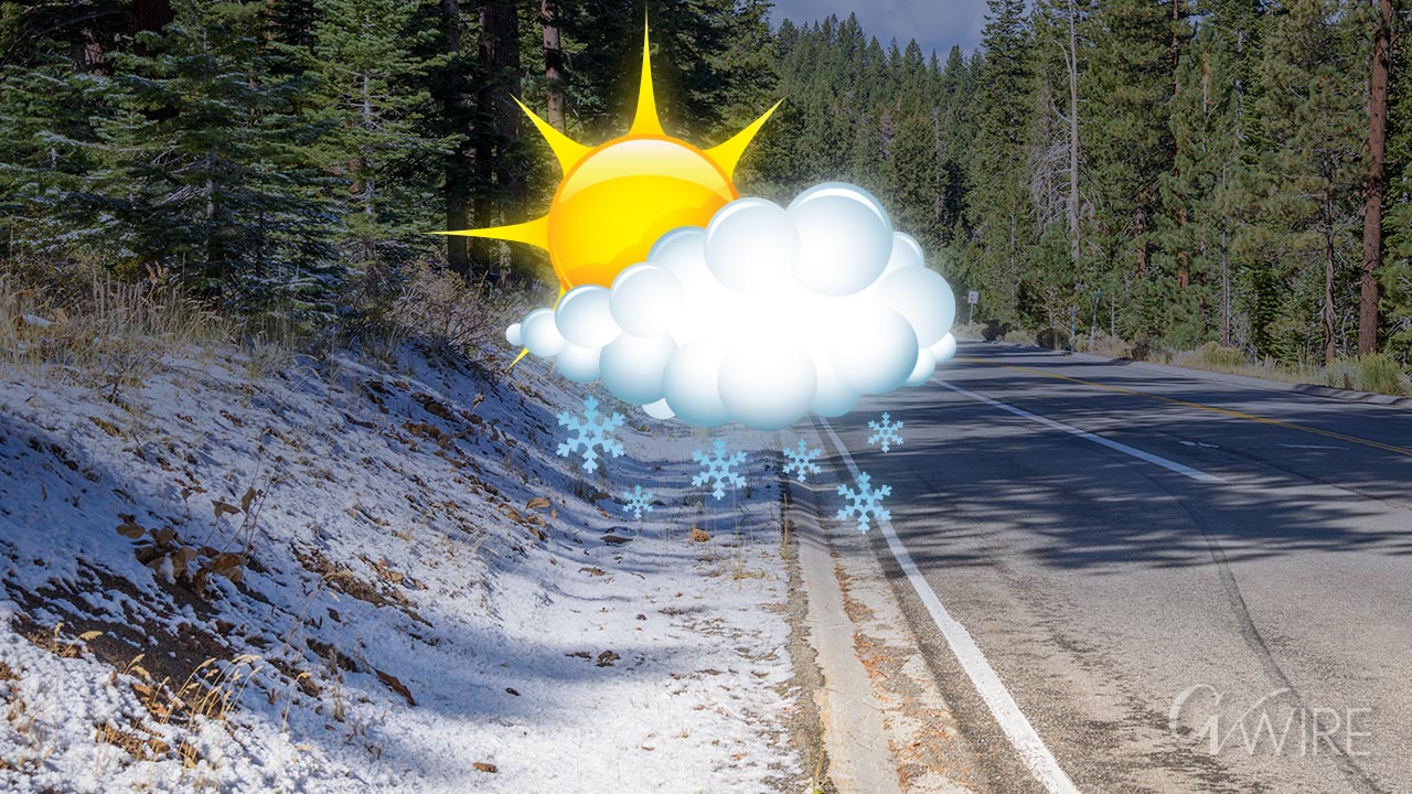
If you're planning a visit to the High Sierra this weekend, be ready for snow. (GV Wire Composite/Paul Marshall)

- A strong low-pressure trough arriving Friday in California could bring snow and thunderstorms to the High Sierra.
- Sierra snow storms in August are fairly rare, and the National Weather Service said there hasn't been one for at least 20 years.
- The cooler temperatures will benefit firefighters battling wildland blazes.
Share
|
Getting your Trinity Audio player ready...
|
Hikers, campers, and motorists in Yosemite National Park and other parts of the High Sierra should be prepared for wintry conditions this weekend, for a few days anyway.
The National Weather Service in Hanford says there’s a good chance some snow could fall above 8,000 feet from Friday evening through Sunday morning.
Even trace amounts will make the Tioga Road, the east-west highway that straddles the Sierra, slippery in spots.
A dusting of snow is possible above 8,000 feet on Friday evening until Sunday morning in the highest elevations of the Sierra Nevada. The best chances are in the high country in Yosemite NP with a 30-50% chance for 0.1 inches of snow and a 20-40% chance of 0.5 inches. #CAwx pic.twitter.com/KwxcDlP7Bb
— NWS Hanford (@NWSHanford) August 21, 2024
The National Weather Service, which is calling the storm “unusually cold … even for the High Sierra,” says it’s been at least two decades since a winter storm hit the Sierra in August.
“That’s probably the most significant climatological factoid about the event, that if it does happen, it would be a once in a multi-decade event,” meteorologist Andy Bollenbacher told GV Wire on Wednesday.
In addition to snow, there could be thunderstorms at lower Sierra elevations, Bollenbacher said.
‘Definitely Seeing Some Volatility in the Forecast’
Coming on the heels of a record-setting hot July through much of the Valley, this weekend’s cool-down is even more noteworthy.
“Yeah, we’re definitely seeing some volatility in the forecast,” he said with a chuckle. “The high-pressure ridge that was over us in July was relentless. And that is now changing. Now we’re looking at an abnormally strong trough, which is in a sense the exact opposite feature.
“So the ridge acts like a pressure cooker and heats us up, and then the trough takes that pressure off and lifts the air and cools it down.”
Fresno’s low for early Friday morning is forecast at 60 degrees, with a daytime high of 81, Bollenbacher said.
In the outlying areas overnight temperatures could drop into the 50s, he said.
And then next week the trough will move on and higher temperatures will resume and “we rebound back to reality,” Bollenbacher said.
Good Forecast for Firefighters
Although precipitation from this weekend’s cooldown is forecast to fall mostly from Madera County northward, firefighters battling the Coffee Pot fire in Tulare County will benefit from the cooler temperatures, CalFire spokesman Mike Landbery said.
“There’s a very slight chance of precipitation over the fire area. But I think the cooler temperatures are going to slow this fire even further, at least for a couple of days,” he said. “That may give us an opportunity to get in there and get some of these fire lines that we’ve been working on the last few days built, or at least get some more progress done on them.”
As of Wednesday morning the fire had burned 1,653 acres and was being battled by 519 firefighters, he said.


