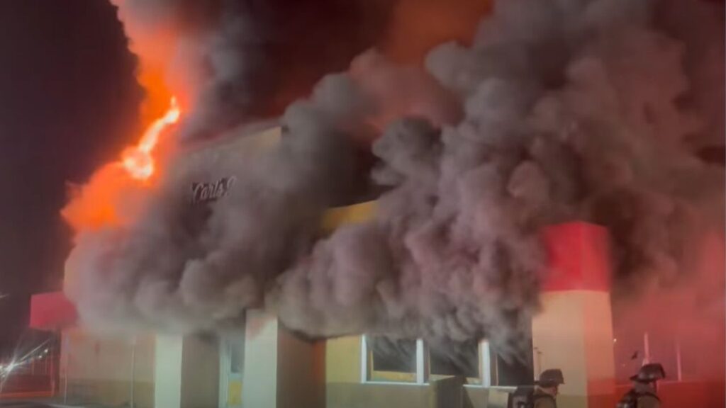
The smoke from the Boone Fire near Coalinga fills the air with smoke on Sept. 3, 2024. (Facebook/Cal Fire Fresno)
Share
|
Getting your Trinity Audio player ready...
|
The Boone Fire, which ignited Tuesday afternoon, has rapidly spread to 12,252 acres and is only 5% contained, according to CalFire.
From the most recent report, 75 structures remain under threat as the fire continued to burn actively on Wednesday.
There are 66 engines, 44 water tenders, 16 helicopters, 23 dozers, 30 hand crews, and others supporting the firefighters.
Receptive fuels and favorable conditions contributed to its spread, with the northern section burning in the 2020 Mineral Fire footprint. Over the next three days, temperatures are expected to exceed 100 degrees, with dry conditions and afternoon winds up to 25 mph complicating firefighting efforts in the steep, rugged terrain.
Related Story: Boone Fire Grows to 11,000 Acres. 3 Firefighters Injured, Evacuation Orders ...
Evacuation Orders and Warnings
Evacuation Orders:
- Fresno County: P12 – Los Gatos Creek Road from the San Benito-Fresno County Line to 10.25 miles east of the county line. Includes Carcia Canyon, Little Bear Canyon, Robbers Canyon, and portions of White Creek.
- Fresno County: P13 – Los Gatos Creek Road including all side roads from 1 mile west of Derrick Avenue to 11 miles west of Derrick. Includes Diaz Canyon, Nunez Canyon, and portions of Post Canyon.
- Fresno County: P21 – Highway 198 including all side roads from 1 mile west of Coldwell Lane to 2.5 miles east of Coldwell. This includes the area around the Coalinga Mineral Springs, Hot Springs Canyon, and Sherman Peak.
Related Story: Boone Fire Ignites, Burns 704 Acres Near Coalinga in Fresno County
Evacuation Warnings:
- Fresno County: P22 – Highway 198 including all side roads from the Monterey-Fresno County line to Crump Lane. This includes the area around Devil’s Gate, Hans Grieve Canyon, and Dogwood Canyon.

RELATED TOPICS:
Categories

Trump Says Mexico Will Stop Sending Oil to Energy-Starved Cuba
