Share
|
Getting your Trinity Audio player ready...
|
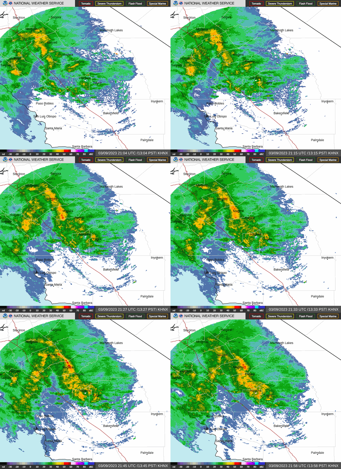
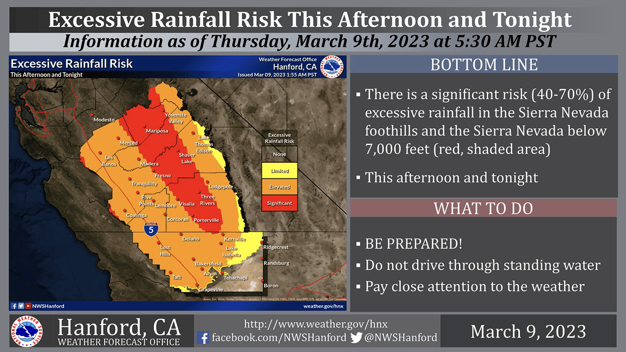
Fresno County officials renewed their dire warnings Thursday about the winter storm that’s forecast to drop 2 to 3 inches of rain on the Valley floor and as much as 8 inches in the Sierra starting Thursday afternoon.
The minimum stream flows that have been predicted are at the upper limit of what the water management systems can handle, said Kris Mattarochia, a National Weather Service meteorologist.
“Please everyone, be ready for this unrivaled flood event,” he said.
Gov. Gavin Newsom added Fresno County to the list of California counties in a state of emergency proclamation due to the threat of flooding.
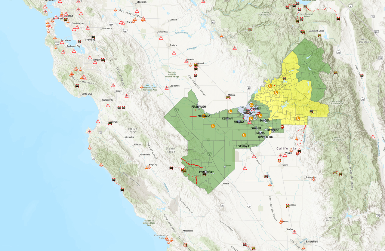
Sheriff John Zanoni announced Thursday that the county expanded the evacuation warning area, which previously encompassed all the foothills from the Madera County line south to Tulare County, and now follows the Kings River from Pine Flat through the Sanger area, Reedley and southward to Tulare County.
Very concerning to see the @NWSWPC upgrade to high-risk (in pink) for flash flooding tomorrow across the Central Coast and foothills of the Sierra with the latest forecasts trending higher for snow levels and moisture.
~90% of all flood-related damages occur on high-risk days. pic.twitter.com/gFkhSU0xEh
— Colin McCarthy (@US_Stormwatch) March 9, 2023
Heavy rain on top of recent record snowfall at lower elevations could make for life-threatening flood conditions in the foothills and Valley, Zanoni said.
“Right now, what we’re looking at is that large amount of snow is going to be melted in a record amount of time because it’s not just by heat, by sun, but it’s going to be melted because we’re having a warm storm come in here,” he said.
Time to Get Ready Is Now
Zanoni said the county is making every effort to make sure residents have time to prepare in advance of the storm, which will not only drop a large amount of rain onto the Valley and foothills but also will produce significant snowmelt that will cause streams and creeks to become raging torrents.
Residents need to have a go-bag with clothing, medication, and other essentials packed and ready to grab at a moment’s notice.
“We’re prepared, because we want to make sure that we don’t lose one life in Fresno County because of this incident, because we’ve known it’s coming, and we’re prepared for it. And that’s why we’re taking precautions,” Zanoni said.
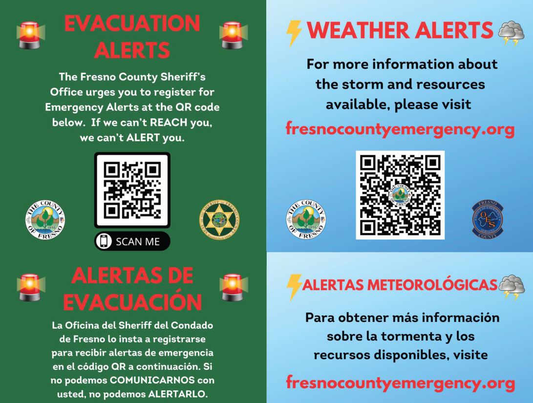
If an evacuation order is issued, residents may receive alerts through the Everbridge system on their smartphones or through weather radio, but some residents may first learn of it when deputies come knocking on their door. If that happens, residents need to be ready to leave immediately.
The county moved its evacuation shelter from Reedley College, which sits on the banks of the Kings River, to the Sanger Community Center, 730 Recreation Ave. The shelter, which is being operated by the Red Cross, will accommodate domesticated pets in kennels, but larger animals will need to go to the Fresno Fairgrounds in southeast Fresno.
Residents who live in low-lying areas such as the Reedley Mobile Home Park should be thinking now about moving to higher ground, officials said.
Zanoni said it’s better to relocate before the water starts rising, if you’re in a flood-prone area. Once the water rises it may be difficult or impossible for emergency services workers to reach you, he said.
Those who decide to stay at home should be prepared to remain there with enough food and medications for at least several days if roads are washed out by floodwaters, he said.
Preparing for Rising Water
Chief Dustin Hail of CalFire and Fresno County Fire said five crews have been clearing culverts and laying sandbags to protect flood-prone areas in the county and will be available to assist the public as needed. The agency has prepositioned six swift-water rescue teams to be ready to respond to emergencies, he said.
The storms that hit in January and flooded roadways will look minuscule compared to the water and flooding produced by the new storm, which Hail said will be “tenfold” stronger. Residents should not try to cross flooded roads, he said: ” You don’t want to become part of the emergency.”
Officials cautioned all county residents about venturing out on roadways during the storm if it’s not absolutely necessary.
The initial flood danger will initially be on the eastern part of the county as the rain and snowmelt run downhill, but as the water moves across the Valley it could threaten west-side communities such as Mendota and Firebaugh over the next few days.
And the storm that’s beginning Thursday won’t be the last one. More rain is forecast to arrive on Monday and continue next week, officials said.
Fresno County’s emergency operations center is currently at Level 1, the highest level, said emergency manager Terri Mejorado.
Thunderstorms Intensify Rain
The storm will be accompanied by thunderstorms that could intensify rain and be accompanied by higher wind gusts, Mattarochia said.
Because the soil is already saturated by recent rainstorms, even a small wind gust can be sufficient to knock over a tree or utility pole, he said.
And a thunderstorm cell could increase rainfall rates, “which can exacerbate the situation over some of these hot spots like Mill Creek, like the Kings River,” Mattarochia said.
Fresno County Emergency Website
Paul Nerland, the county’s emergency services director, said residents can stay on top of developments by checking the county’s emergency website at FresnoCountyEmergency.com.
The website includes links to sign up for emergency notifications and to find maps of evacuation warnings and orders and road closures.
For assistance with an evacuation, call the Fresno County Sheriff’s Office at (559) 600-3111. For emergencies, dial 911.
RELATED TOPICS:
Categories


