

|
Getting your Trinity Audio player ready...
|
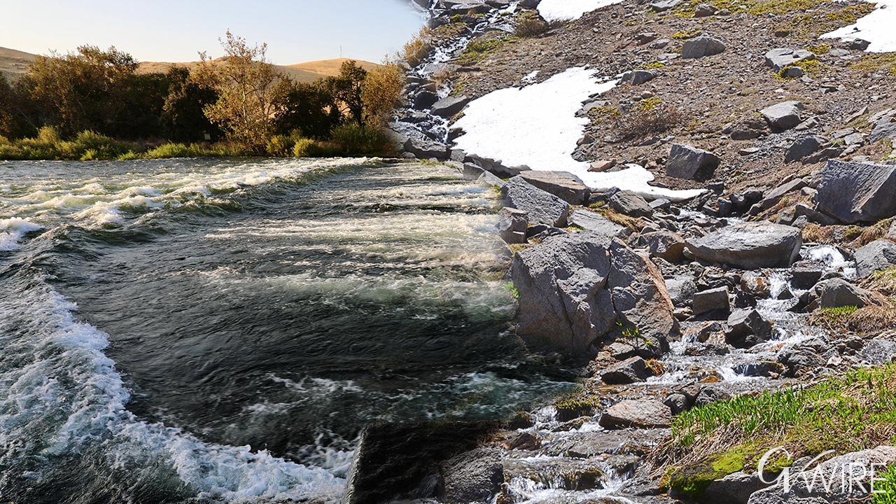
Ahead of the April 1 calendar benchmark, surveys show water flows along the Kings River running more than double what they normally would in similar years with snowpacks depleting rapidly.
Steve Haugen, watermaster for the Kings River Water Association, said in a news release that the early flows will likely disrupt deliveries to water users reliant on the river.
“In a month that had no precipitation, March has seen flows more than double compared to years with similar water supplies. Typically, we see peak snowmelt runoff occur in May or June, with most of the snowmelt occurring April through July. This year, we likely witnessed peak snowmelt runoff in March,” said Haugen. “The early runoff has impacts on water supply partitioning to our member units and influences when water deliveries are made.”

Hot March Resulted in First-of-Its-Kind Early Survey
High March temperatures pushed the Department of Water Resources and its partners to conduct mid-month surveys at 100 of the 259 sites ahead of the April 1 snowpack survey, something never done before, the release stated.
Surveyors measured Kings River snowpack at about 12.5 inches, or 43% of the April 1 average. At specific water sites, results varied.
At Blackcap Basin, about 10,300-foot elevation, snow depth reached 54.5 inches with water content of about 24.5 inches — about 74% of average. Surveyors found no snow at Fred Meadow near Wishon Reservoir. Four more snow sites need to be sampled before the April 3 deadline.
Haugen said without additional rain, water availability in spring and summer will be unreliable.
Snowpack Is Melting Early
“Although most Valley residents may not remember anything but fog this winter, warm and sunny conditions prevailed in the Sierra Nevada above the fog layer,” Haugen said. “Coupled with dry conditions and record high temperatures, the snowpack is melting early.”
Meteorologists expect showers Tuesday as a storm system closes in, adding up to a quarter-inch of rain Tuesday, according to the National Weather Service. The chance of rain extends through Thursday, possibly adding to those totals.