

|
Getting your Trinity Audio player ready...
|
A massive storm hitting California from the top of the Sierra down to sea level is expected to continue through Thursday and could be followed by another round of storms beginning Sunday, the National Weather Service says.
The impacts of this week’s weathermaker are being felt throughout the Golden State, but especially in Northern California, where Highway 50 reopened this Wednesday morning but eastbound 80 remains closed until at least noon.
Wed, Feb 18, 2026 @ 6:50 AM PST – Here are the latest 24 hour snow amount forecasts for today and Thursday. Light snow as low as 1,500 feet until Thursday. #CAwx pic.twitter.com/hTg7eiRbXo
— NWS Hanford (@NWSHanford) February 18, 2026
Snow blanketing the Sierra has given the once-parched snowpack a significant boost and major reservoirs are filled well above their historical norms.
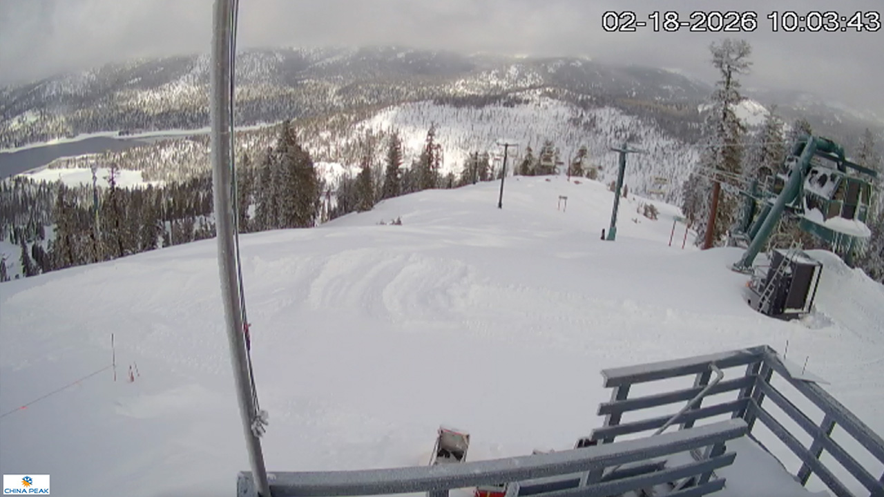
China Peak Ski Resort reported getting six feet of snow Tuesday, and NWS Hanford says the Huntington Lake region at nearly 7,000 feet in elevation could receive six more feet through Friday morning.
Snow fell in Oakhurst on Tuesday and the NWS forecast calls for snowflakes as low as 1,500 in the Valley foothills through Thursday.
Motorists are advised that chain controls are in effect on Highway 168 from 8.6 miles east of Prather to Huntington Lake. Chains also are required on Highway 180 from 0.6 mi east of the junction highway 245 to Hume Lake Road. In addition, 180 is closed from Hume Lake Road to Kings Canyon National Park for the winter, Caltrans said.
Early morning train slow-mo plowing through 2’ deep High Sierra #snow in Truckee, California. #slowmo #snow #highsierra pic.twitter.com/jRrM4HLiCW
— Justin Michaels (@JMichaelsNews) February 18, 2026
Local Rainfall
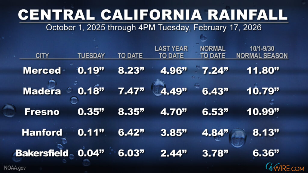
Fresno received nearly an inch of rain Tuesday, bringing its seasonal total to 8.35 inches. That compares to 6.53 inches, the historical average through Feb. 17. At the Valley’s southern end, Bakersfield has accumulated 6.03 inches of rain, nearly matching its normal season total of 6.36 inches with several months to go in the water season.
The Local Forecast
The core of a cold low pressure system will continue sweeping through the northern half of California on Wednesday tonight, NWS said in its Wednesday morning forecast.
Valley communities can expect widespread moderate rain and mountain snow, with some pockets of heavier precipitation.
Strong winds will accompany rain and snow, thus raising the potential for downed trees, power outages, and road hazards.
Winter Storm Warnings in effect for the Sierra Nevada until Thursday evening and the Kern County mountains through Friday morning, including the I-5/Grapevine area.
Sierra Snowpack
Thanks to the heavy snowfall, the Sierra snowpack picture has improved. The Southern Sierra is at 94% of normal, the Central Sierra 70% and the Northern Sierra 50%.
2/18/26 8:45 am Update:
1-day ❄️: 29.3″ (74.5 cm)
2-day ❄️: 57.5″ (146 cm)
3-day❄️ (storm total): 66.9″ (170 cm)We have flurries and calm conditions currently but snowfall rates will pick up this afternoon and evening bringing another 2-3 feet by Friday morning.#CAwx #CAwater pic.twitter.com/vHAUXqhbiw
— UC Berkeley Central Sierra Snow Lab (@UCB_CSSL) February 18, 2026
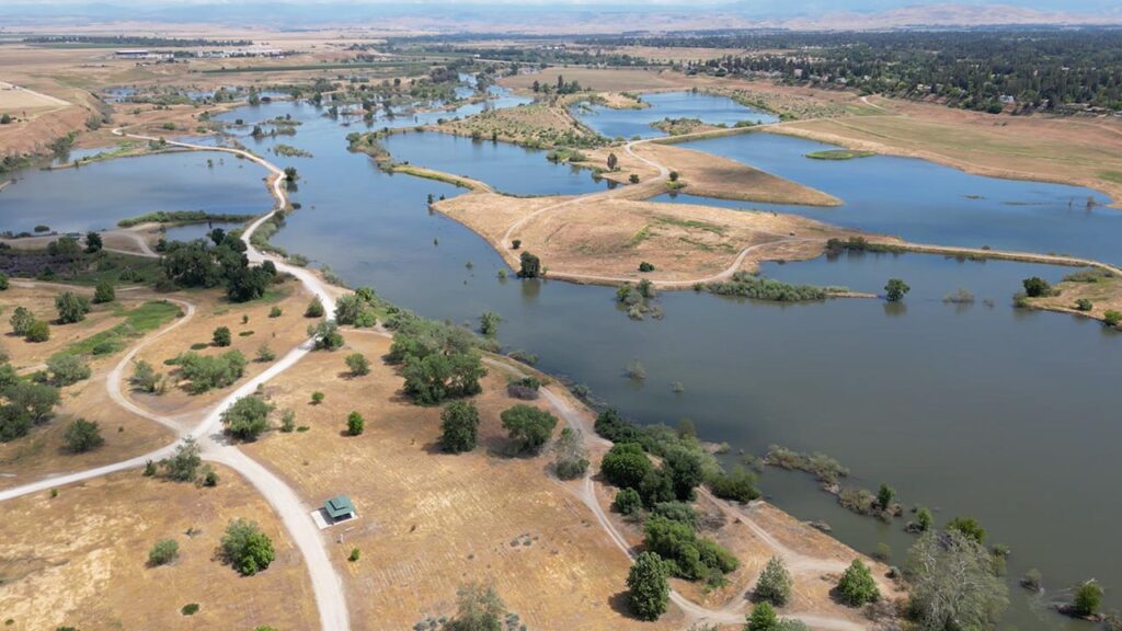
The state’s two huge Northern California reservoirs, Oroville and Shasta, were filled to 128% and 113%, respectively, of their historical norms as of Tuesday morning.
Closer to Fresno, the state reports these reservoir totals: Millerton (102%), Pine Flat (122%), and San Luis (103%).