
|
Getting your Trinity Audio player ready...
|
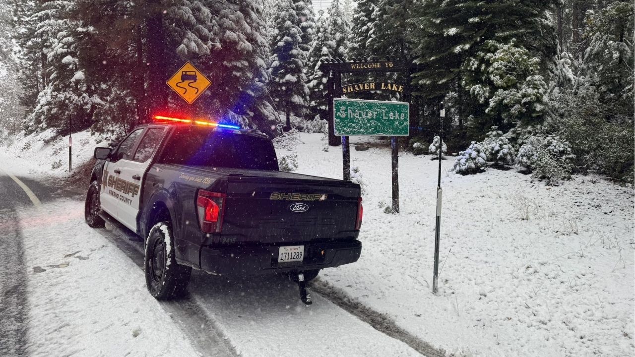
Get ready for the return of rain to Fresno and surrounding communities and snow in the Sierra.
The National Weather Service in Hanford’s forecast calls for the arrival of a storm Monday night.
In addition, NWS expects snow in the mountains above 6,000 feet, with total accumulations of 4 to 10 inches above 6,000 feet, and 12 to 18 inches above 7,000 feet.

Thus, a Winter Weather Advisory has been issued for elevations above 6,000 feet beginning 10 p.m. tonight and extending to 4 p.m. Wednesday.
The forecast calls for most of the precipitation on Tuesday and Wednesday. NWS pegs the probability of receiving a half-inch of rain from the storm at 70-80%.
Is Bigger Storm to Follow?
“Looking further into the forecast for next weekend into that following week, there is medium, but growing confidence in a much colder and longer-lasting storm system moving through California by Saturday through at least next Wednesday,” NWS said in its Monday morning forecast discussion.
NWS modeling indicates the second storm could pack a wallop with snow falling as low at the foothills. Elevations between 4,000 and 7,000 feet could receive a foot of snow.
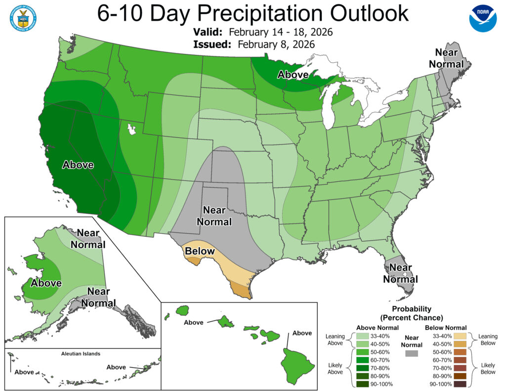
Meanwhile, NOAA’s Climate Prediction Center issued its 6-to-10-day look ahead on Sunday. According to the CPC, all of California will receive above normal precipitation through Feb. 18.