

|
Getting your Trinity Audio player ready...
|
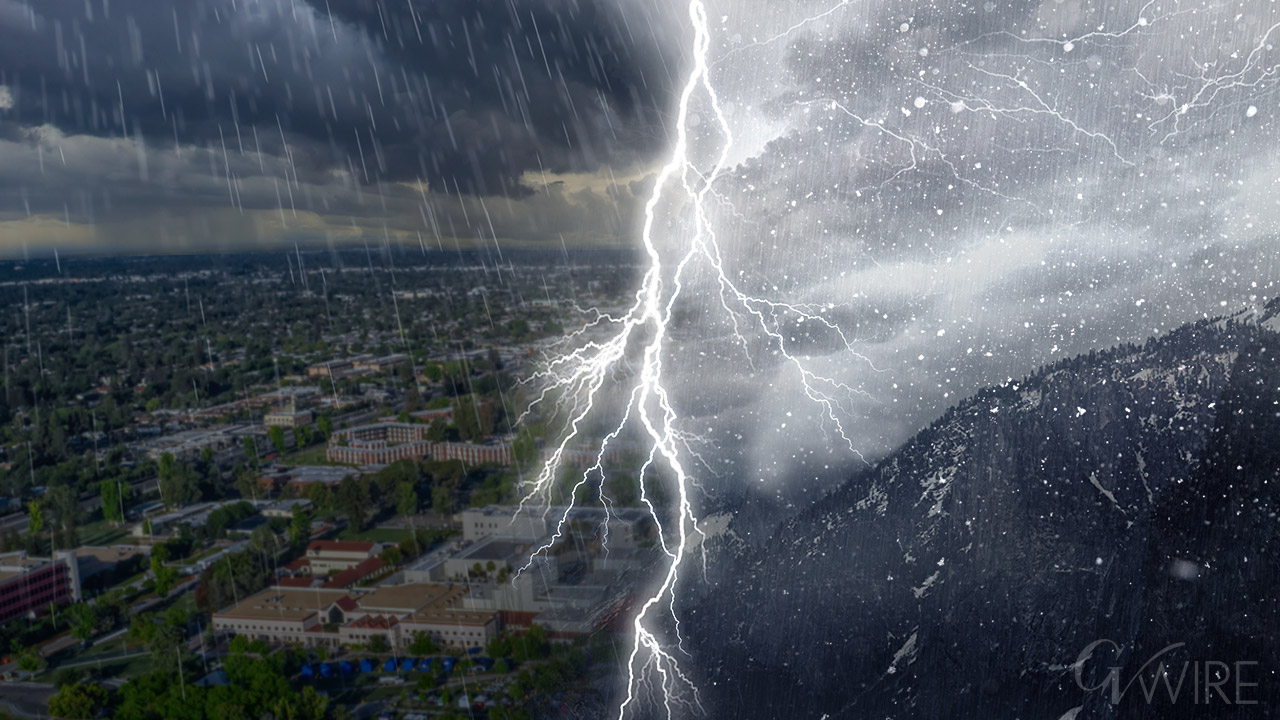
A potent, fast-moving storm is set to drench the California coast this week, bringing a quick burst of heavy rain and at least some potential for flash flooding and mudslides.
Rain is guaranteed, but whether enough rain will fall to lead to widespread flooding remains the central uncertainty. Beginning Wednesday, this system will deliver a quick, intense shot of heavy rain to much of the state’s coast, including San Francisco and Los Angeles.
Forecasters in San Francisco urged residents to finish flood preparations by Tuesday but said they did not anticipate days of prolonged, intense rainfall. The speed of this “quick hitter” could be the key difference between manageable rain and a destructive event.

What Makes This Storm Dangerous
The storm is part of an atmospheric river, a common feature of the West Coast’s winter wet season that pulls tropical moisture from warmer waters and wrings it out over the rugged coastal terrain and the Sierra Nevada. Sometimes, as seems most likely with this system, they can deposit more rain in a single hour than an area has seen in months.
While the first substantial rainfall of the season often signals relief by marking the end of the wildfire season, too much rain too fast creates hazards. These include flash flooding, mudslides and, in areas scarred by recent wildfires, debris flows. Northern California, where the moisture is already more saturated than normal from recent rains, is particularly vulnerable to flash flooding, as the ground can quickly grow more saturated.
Debris flows are a critical concern. These occur as water runs through burned areas, causing significant erosion and picking up large amounts of ash, silt, rocks and burned trees. The resulting force can destroy infrastructure miles away from a burn scar. The National Weather Service’s rule of thumb is that half an inch of rainfall in less than an hour is generally sufficient to trigger flows in a burn area.
The Storm’s Timing
An atmospheric river often appears on satellite imagery as a long, narrow “hose” streaming toward the coast. The end of the hose, where the precipitation falls, is first expected to take aim at Northern California on Wednesday before sweeping to the south overnight into Thursday, arriving in Southern California on Thursday and lasting into Friday before moving out. Forecasters are relatively confident in this timing, though weather models disagree on specific start times within a roughly 12-hour window.
The system is a fast mover, projected to deliver a burst of one to three inches of substantial rainfall over a short period. The greatest concern is that the moisture within the atmospheric river is so potent that if precipitation falls too quickly, it could become hazardous — a possibility forecasters are watching closely.
Regional Effects
— Northern California: forecasters have slightly higher confidence about the storm’s effects. Because the soil is already saturated from weaker storms in recent weeks, it will take less rain this time to trigger flash flooding. The heaviest rainfall is expected on the southern-facing coastal and Sierra slopes. The quick hit of heavy rain could rapidly swell local streams and creeks, especially immediately downstream of the mountains.
Initial estimates suggest that the Bay Area could receive from 1 to 1.5 inches of rain. The coastal ranges are most likely to see totals of 1.5 to 3 inches, while valleys will receive significantly less. As the rain tapers off, colder air will rush in, potentially bringing snow to lower elevations.
— Southern California: the most likely scenario calls for rain totals of 1 to 2 inches across coasts and valleys and 2 to 4 inches across foothills and mountains. Forecasters in Los Angeles noted that the angle and position of the atmospheric river would matter greatly, with south-southwest-facing upslope areas potentially receiving two to three times as much rain as coastal areas.
There is at least a 30% chance that more rain could fall, escalating the risk of flooding and mudslides. This uncertainty is likely to continue until the storm materializes and begins moving south. Snowfall is likely to occur above 8,000 feet, potentially dropping to around 6,000 feet on Friday morning, adding 1 to 2 inches at lower elevations.
This storm marks the beginning of the state’s wet season. The risk of flooding will be magnified if subsequent atmospheric events follow too closely. Early projections indicate the potential for another storm on the tail of this one at the end of the week, though it is forecast to be less intense.
— Pacific Northwest: While these storms can often bring rain from Southern California all the way up through Canada, the effects of this week’s atmospheric river are expected to be concentrated in California. Washington and Oregon, however, may still see some rain from another system as it interacts with the atmospheric river to the south.
How much rain they will eventually see remains highly uncertain. Current forecasts suggest precipitation totals for Washington and Oregon will be relatively modest. Some forecast models do show the potential for heavier rain up through Canada if the conditions change.
—
This article originally appeared in The New York Times.
By Judson Jones
c. 2025 The New York Times Company