Rain, snow, hot weather — we're pretty much getting a little of everything this week and next in Fresno and the Sierra. (GV Wire Composite/Paul Marshall)
Share
|
Getting your Trinity Audio player ready...
|
Mark Twain could have been talking about our upcoming weather forecast when he reflected that “if you don’t like the weather in New England now, just wait a few minutes.”
Starting Wednesday, the weather in Fresno and the Sierra will look like a giant meteorological pinball.
And we can thank — or blame — a storm that’s moving into California from the Gulf of Alaska, Brian Ochs, a meteorologist with the National Weather Service in Hanford, said Tuesday morning.
The bracingly cool weather that arrived in the Valley last weekend with overnight lows in the 50s and highs in the 70s will be replaced by a turbulent system that’s raising the possibility of thunderstorms from Fresno northward in the Valley and Sierra starting Wednesday afternoon.
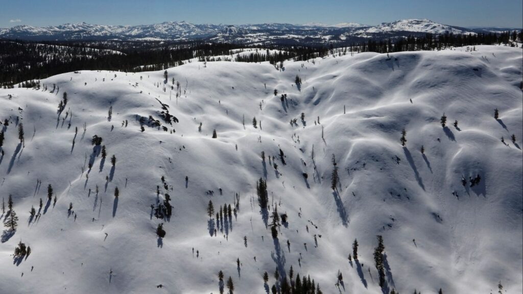
Those storms will continue Thursday with a 50% chance of showers in Fresno, Central California, and the mountains, and a 90% chance of snow at Tioga Pass and other High Sierra locations.
Thursday “looks like it’ll be probably one of our more active days just because we’ll have some cold and unstable air to deal with,” Ochs said.
Hotter Weather Returns
Some lingering showers could remain over the Sierra on Friday, while Fresno’s forecast will start to heat up with a high Friday of 83, followed by a high of 90 on Saturday, and 94 on Sunday, he said.
The autumnal equinox, the first day of fall and the official end of summer, will arrive at 4:43 a.m. Sunday, but the temperatures next week will still feel fairly summery.
The forecast high for Monday is 96 followed by 97 on Sept. 24, Ochs said. And the longer-range forecasts through the end of the month and into early October look to be warmer-than-normal, he said.
RELATED TOPICS:
Categories

Netanyahu Plays Trump and American Jews for Fools — Again


