

|
Getting your Trinity Audio player ready...
|
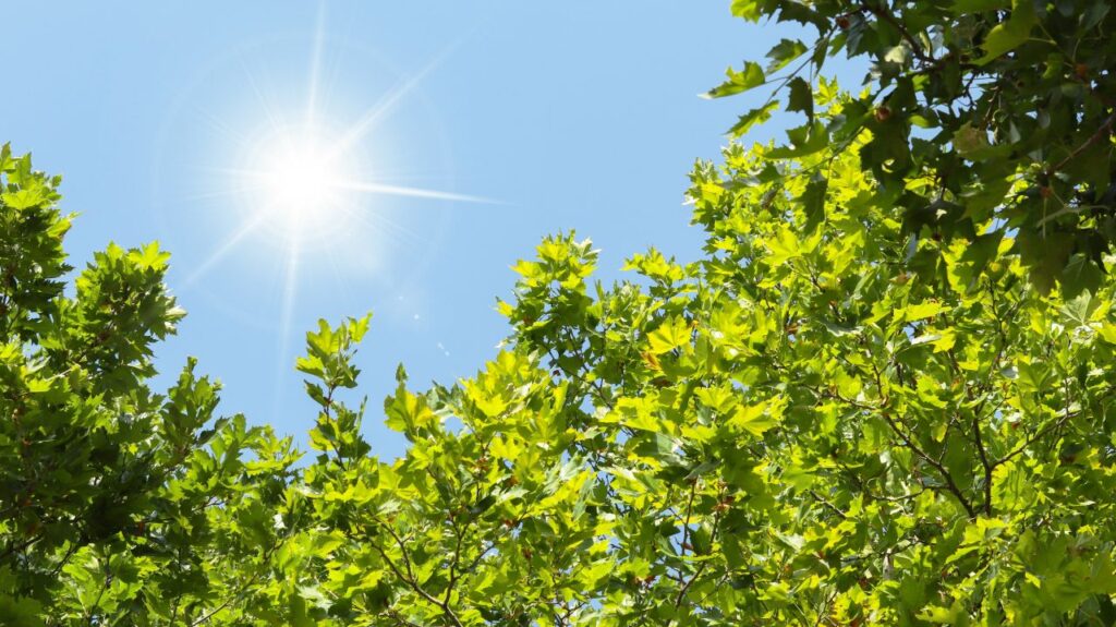
Say hello to a high-pressure system that extended early Thursday morning across the southwestern United States.
The system, which is centered off the coast of Baja, California, will produce clear conditions and highs temperatures in the upper 70s through Saturday.
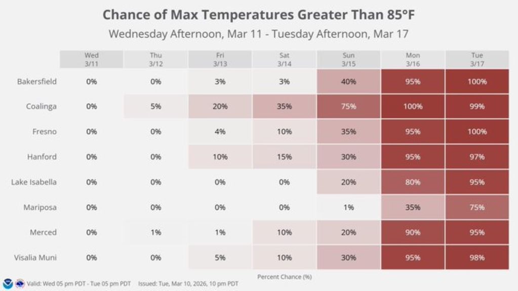
And, according to the National Weather Service’s Hanford station, Fresno will hit the 80s starting Sunday.

After that, there’s a chance of setting daily high-temperature records in Fresno and surrounding communities, as the thermometer soars to the lower and mid-90s.
Meanwhile, overnight lows will start in the high 40s and could climb to 60 degrees by Tuesday.
“If the forecast holds at these temperatures, the area will be approaching daily record highs and flirting with monthly record highs,” NWS Hanford said in its Thursday morning forecast discussion.
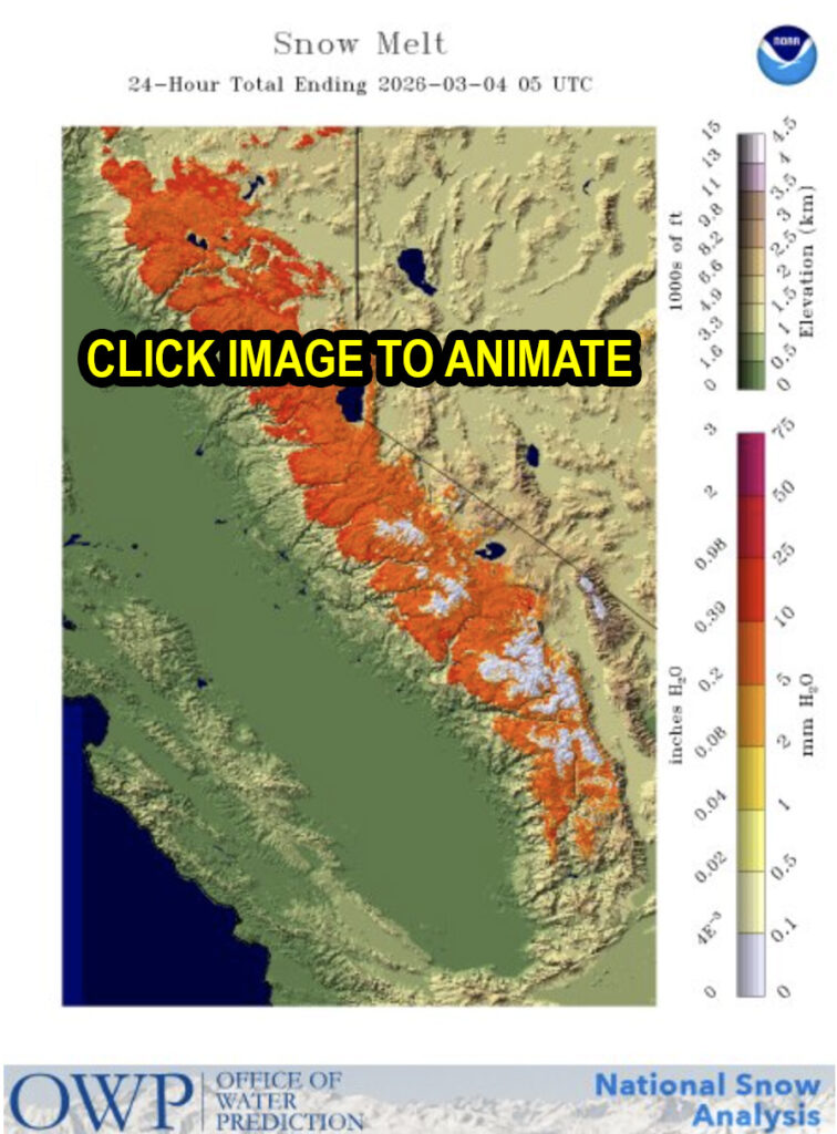
Shrinking Snowpack With No Precipitation in Sight
It has been boom or bust for the Sierra snowpack this winter, as bursts of massive snowfall alternate with long dry stretches and unusually warm temperatures.
The latest report from state Water Resources shows the northern Sierra at 29% of normal through today. The Central Sierra is at 53%, and the Southern Sierra is at 72%.
In a typical year, the Sierra snowpack supplies about 30% of California’s water needs, state water officials say. Hence, it is sometimes referred to as a “frozen reservoir.”
In the animation below, you can see the Sierra snowpack’s yo-yo accumulation and melt-off since Oct. 1, 2025.