
|
Getting your Trinity Audio player ready...
|
A part of the Midwest that includes Chicago is facing an especially strong threat of severe weather Tuesday afternoon, part of a broad swath of the United States that was under some risk of storms through the day.
Forecasters warned the storms could deliver all manner of severe weather from Texas to the Northeast, including large hail, damaging winds, tornadoes and flooding. The most likely effects varied by location. Thunderstorms could occur as early as midafternoon but are more likely in the late afternoon to early evening.
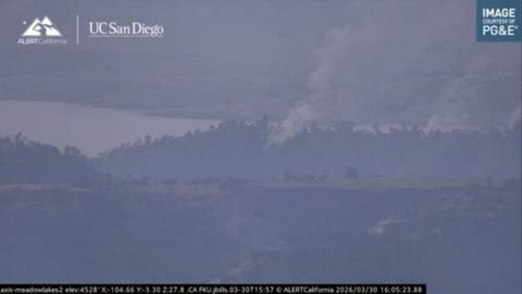
Chicago falls within an area under the threat of tornadoes. The risk there is very low, only 2%, but at this time of year, any tornado threat in the city is unusual.

“To have this much instability in the atmosphere this early in March, I would say that’s uncommon,” said Scott Baker, a meteorologist with the National Weather Service office in Romeoville, Illinois. “This weather is more typical of late summer or maybe an early summer pattern.”
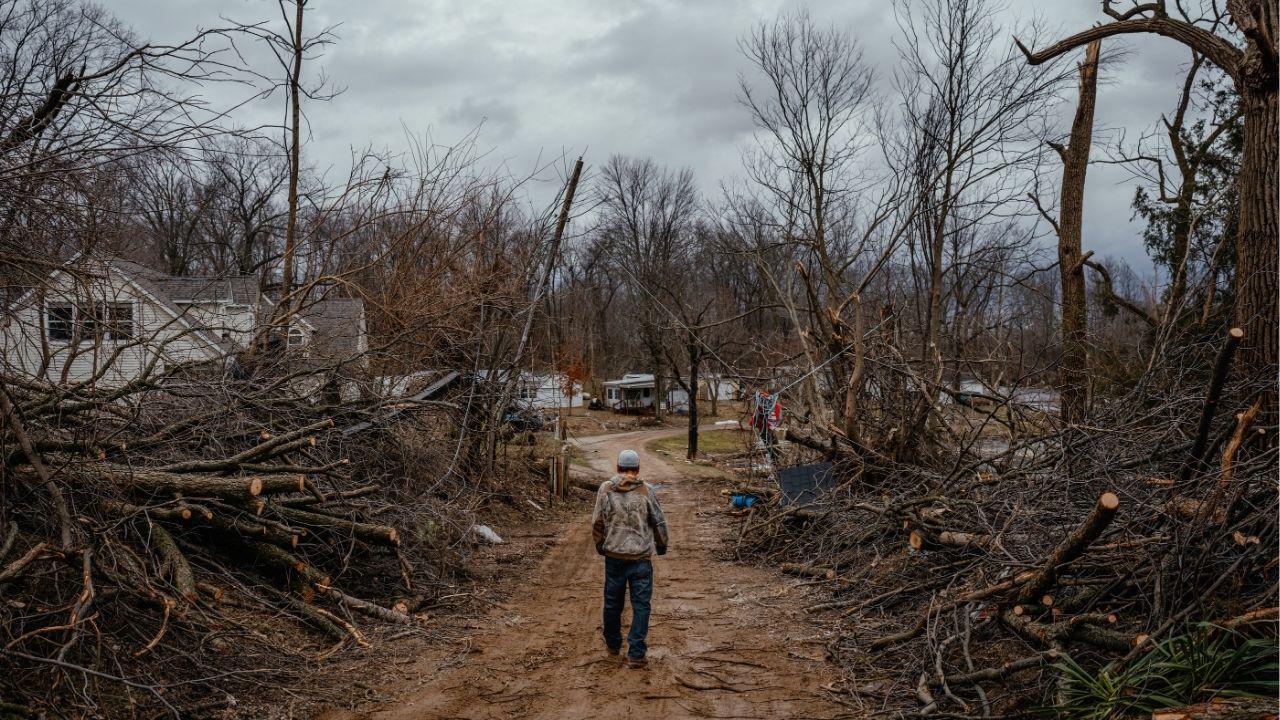
The renewed threat of severe weather comes just days after a wave of storms swept the same region Friday, producing tornadoes that killed at least six people in Michigan and Oklahoma.
Matt Mosier, a meteorologist at the Storm Prediction Center, said at least 11 tornadoes were reported Thursday and Friday, including one that killed three people and left another 12 injured in Union City, Michigan.
On Sunday, the weather service rated that tornado a three on the five-point Enhanced Fujita scale, the earliest in the calendar year a tornado of that intensity has struck Michigan.
The Most Intense Weather Is Forecast in Two Separate Areas
While severe thunderstorms are possible from Texas to western Pennsylvania, two areas are at an enhanced risk, with higher chances of extreme weather including intense tornadoes.
One of these areas was spread across a portion of Texas, including Fort Worth, and Oklahoma. The other was centered in the Midwest from northeast Ohio, across central Illinois and northern Indiana, and includes Chicago.
Within this area, a small patch of north-central Illinois, including the cities of Peoria and Joliet, and far northwestern Indiana have a higher risk of severe weather. If there are tornadoes Tuesday, this is where they are most likely to form, forecasters said. This area is also at risk of hail large enough to damage cars.
All told, more than 70 million people live in an area at some risk from these storms.
Forecasters said the storms could deliver wind gusts exceeding 60 mph and hail larger than 2 inches in diameter, in addition to strong to severe tornadoes.
Mosier said the storms were part of a “fairly typical spring setup,” when warm, moist air surges north from the Gulf of Mexico and meets with passing weather systems. That interaction often produces multiple rounds of storms across the Mississippi Valley, with active periods followed by brief lulls before the cycle repeats. But pinpointing exactly where and when they will hit is difficult.
The storms are also expected to bring the risk of flash flooding, particularly across portions of the central United States, from the Plains toward the southern Great Lakes on Tuesday and Wednesday.
Here’s a Day-by-Day Look at What to Expect:
Tuesday
— Widespread severe thunderstorms are expected from the southern Plains into southern Great Lakes beginning Tuesday afternoon and may evolve into longer lines of storms into Tuesday night.
— All types of severe weather are possible, including large hail and wind gusts that could cause damage and tornadoes, especially over parts of Missouri, Iowa, Illinois, Indiana and southern Michigan, as well as portions of the Texas Plains into southwest Oklahoma.
— Repeated rounds of storms may lead to flash flooding in areas of Texas, Oklahoma, Kansas, Missouri, Illinois, Indiana, Michigan and Wisconsin, including Dallas, Tulsa, Oklahoma; and Kansas City, Missouri.
Wednesday
— The threat shifts east, in a broad area from eastern Texas and Louisiana through to Pennsylvania, including areas of Arkansas, Mississippi, Alabama, Tennessee, Kentucky, West Virginia, Virginia, Indiana and Ohio.
— All severe weather types are again possible, including widespread wind gusts that could cause damage, large hail and tornadoes.
— Isolated flash floods are possible over areas of northeast Texas, northern Louisiana, northern Mississippi, Arkansas, southeast Oklahoma, southeast Missouri, western parts of Tennessee and Kentucky and southern Illinois.
Thursday
— Mosier said the threat of severe weather would be on a “downward trend” from the middle of the week, though some severe weather may continue over areas of the mid-Atlantic and Southeast on Thursday.
—
This article originally appeared in The New York Times.
By Nazaneen Ghaffar and Amy Graff/Jamie Kelter Davis
c. 2026 The New York Times Company