

|
Getting your Trinity Audio player ready...
|
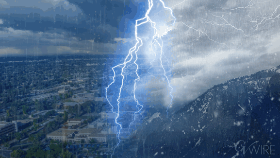
After receiving nearly a half-inch of rain Thursday through 2 p.m., Fresno will see more showers and possibly a thunderstorm or two before the storm concludes, the National Weather Service says.
NWS also continues to predict that snow could fall as low as 1,500 feet in the Valley foothills on Thursday evening.
Once the storm is done, Fresno and surrounding communities should enjoy clear and sunny skies through Monday.

However, Tuesday’s and Wednesday’s forecasts call for a 50% chance of rain delivering up to half-inch in total precipitation.
Highway 168 Below Shaver Lake Choked With Snow
The California Highway Patrol is warning drivers of hazardous conditions on a stretch of Highway 168 near Shaver Lake.
CHP officials said that the six-mile segment between the top of the four-lane and Shaver Lake is experiencing heavy snow and gusty winds, which can reduce visibility to near-whiteout levels. Drivers are advised to expect sudden changes, obey chain controls, slow down, and increase following distance.
Authorities cautioned that the road could become dangerous quickly and suggested postponing travel for those uncomfortable with winter driving conditions.
“Safety first, the mountain and snow will still be there tomorrow,” the CHP said in a travel alert issued Thursday morning.
View this post on Instagram
Madera County’s Mountain Communities Lose Power
The Madera County Sheriff’s Office of Emergency Services reported Thursday that power outages are affecting several mountain communities amid the storm. Neighborhoods impacted include Sugar Pine, Central Camp, Pine Ridge Road, and Rock Point Road.
The county’s Emergency Operations Center has been active since the storm began, coordinating response efforts and monitoring conditions, including roadway access and the needs of vulnerable residents. Officials say they are working closely with PG&E to support safe and timely power restoration.
Authorities urged residents to treat all downed power lines as energized, use generators only outdoors and away from doors or windows, and check on neighbors, particularly seniors and those with medical needs.
Residents are advised to report outages directly to PG&E and monitor official channels for updates.
More Snow for the Sierra
The latest NWS forecast calls for up to 30 inches of snow Thursday in Southern Sierra locations such as Lodgepole and Camp Nelson in Tulare County.
The predicted amounts are 16 inches for Shaver Lake, 21 inches for Huntington Lake, and 16 inches for Yosemite Valley.
Thu, Feb 19, 2026 @ 6:25 AM PST – Here are the latest 24 hour snow amount forecasts for today. Light snow as low as 1,500 feet this evening. #CAwx pic.twitter.com/dYarx2VSj2
— NWS Hanford (@NWSHanford) February 19, 2026