Southern California braces for potentially strongest windstorm in over a decade, raising extreme fire danger concerns. (AP File)

- Forecasters warn of powerful, dry gusts up to 80 mph, with isolated gusts potentially topping 100 mph.
- Utilities consider preemptively cutting power to over 415,000 customers across seven counties as a precaution.
- Extreme fire risk extends to populated areas due to dry conditions following a wet season with abundant vegetation growth.
Share
LOS ANGELES — Winds began gaining strength across Southern California on Tuesday, as forecasters warned of powerful, dry gusts that could bring down trees, damage homes and bring extreme fire risk to areas that haven’t seen substantial rain in months.
The National Weather Service said what could be the strongest windstorm in more than a decade would begin in the afternoon across Los Angeles and Ventura counties and peak in the early hours of Wednesday, when gusts could reach 80 mph (129 kph). Isolated gusts could top 100 mph (160 kph) in mountains and foothills.
Potential Dangers and Precautions
The weather service warned of possible downed power lines and knocked-over big rigs, trailers, and motorhomes. Strong offshore gusts will also bring dangerous conditions off the coasts of Orange and Los Angeles counties, including Catalina Island, and potential delays and turbulence could arise at local airports.
Southern California Edison said it was considering preemptively cutting power starting Tuesday to more than 415,000 utility customers across seven counties. San Diego Gas & Electric said it could shut service to more than 64,000 customers. In recent years, California utilities have routinely de-energized electrical lines as a precaution against weather conditions that might damage equipment and spark a fire.
Related Story: 3,700 People Return to Malibu as Weather Conditions Improve, Help Firefighters ...
Elevated Fire Risk
The upcoming winds will act as an “atmospheric blow-dryer” for vegetation, bringing a long period of fire risk that could extend into the more populated lower hills and valleys, according to Daniel Swain, a climate scientist with the University of California, Los Angeles and the National Center for Atmospheric Research.
“We really haven’t seen a season as dry as this one follow a season as wet as the previous one,” Swain said during a Monday livestream. “All of that extra abundant growth of grass and vegetation followed immediately by a wind event of this magnitude while it’s still so incredibly dry,” elevates the risk.
Recent dry winds, including the notorious Santa Anas, have contributed to warmer-than-average temperatures in Southern California, where there’s been very little rain so far this season.
Drought Conditions and Fire Concerns
Southern California hasn’t seen more than 0.1 inches (0.25 centimeters) of rain since early May. Much of the region has fallen into moderate drought conditions, according to the U.S. Drought Monitor. Meanwhile, up north, there have been multiple drenching storms.
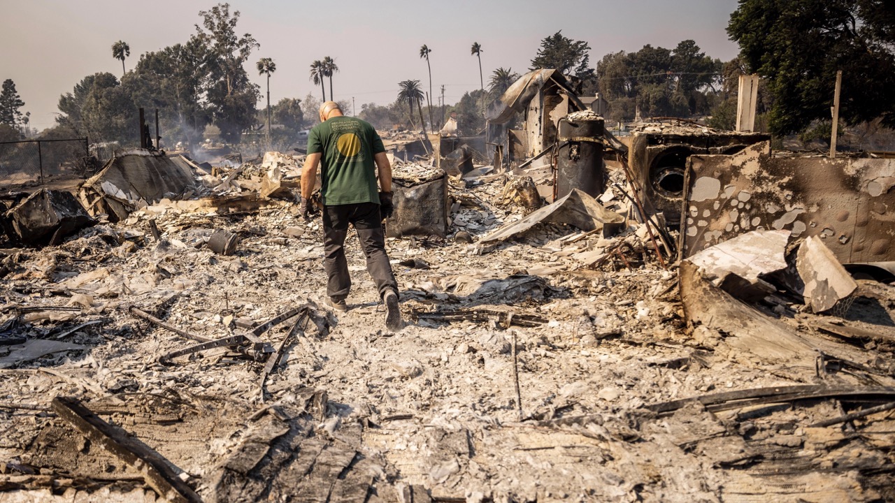
Areas where gusts could create extreme fire conditions include the charred footprint of last month’s wind-driven Franklin Fire, which damaged or destroyed 48 structures, mostly homes, in and around Malibu.
Related Story: Atmospheric River Brings Weather Whiplash to East Coast as Bomb Cyclone
The blaze was one of nearly 8,000 wildfires that added up to scorch more than 1,560 square miles (more than 4,040 square kilometers) in the Golden State last year.
The last wind event of this magnitude occurred in November 2011, during which more than 400,000 customers lost power across LA County, the Los Angeles Times reported.
“The grid is built to withstand strong winds,” said Jeff Monford, a spokesperson for the utility. “The issue here is the possibility of debris becoming airborne and hitting wires … or a tree coming down.”


