California's Kincade Fire Burn Scar Seen From Space


Share
[aggregation-styles]
NASA
NASA
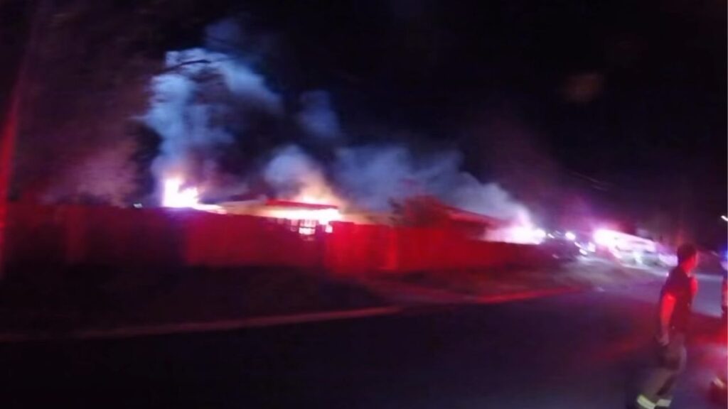
Thousands of acres damaged by the ongoing Kincade Fire in Northern California’s Sonoma County are visible in this new image from the Advanced Spaceborne Thermal Emission and Reflection Radiometer (ASTER) instrument aboard NASA’s Terra satellite. The image was taken at 11:01 a.m. PST (2:01 p.m. EST) on Nov. 3, 2019. The burned area appears dark gray in ASTER’s visible channels. Hotspots, where the fire is still smoldering, appear as yellow dots in ASTER’s heat-sensing, thermal infrared channels.
After starting on Oct. 23, forcing residents to evacuate, the fire had burned 77,758 acres and destroyed 372 structures by Nov. 3, according to the California Department of Forestry and Fire Protection. It is now over 80% contained.
After starting on Oct. 23, forcing residents to evacuate, the fire had burned 77,758 acres and destroyed 372 structures by Nov. 3, according to the California Department of Forestry and Fire Protection. It is now over 80% contained.
Burn scar from California's #KincadeFire seen from space by @NASA's ASTER.https://t.co/nk2drqmFtS pic.twitter.com/XxjBZHqlBK
— NASA JPL (@NASAJPL) November 5, 2019
NASA Jet Propulsion Laboratory | 4 Nov 2019